Основной контент книги Scotland: Mapping the Nation
Tekst

Raamatu kestus 390 lehekülge

0+

Scotland: Mapping the Nation

autorid
Charles W.J. Withers,
chris fleet
€24

Raamatust

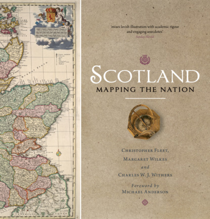
Whilst documents and other written material are obvious resources that help shape our view of the past, maps too can say much about a nation's history. This is the first book to take maps seriously as a form of history, from the earliest representations of Scotland by Ptolemy in the second century AD to the most recent form of Scotland's mapping and geographical representation in GIS, satellite imagery and SATNAV. Compiled by three experts who have spent their lives working with maps, Scotland: Mapping the Nation offers a fascinating and thought-provoking perspective on Scottish history which is beautifully illustrated with complete facsimiles and details of hundreds of the most significant manuscript and printed maps from the National Library of Scotland and other institutions, including those by Timothy Pont, Joan Blaeu and William Roy, amongst many others.
Logi sisse, et hinnata raamatut ja jätta arvustus
Raamat Charles W.J. Withers, Chris Fleet jt «Scotland: Mapping the Nation» — loe tasuta raamatu katkendit veebis. Jäta kommentaare ja arvustusi, hääleta lemmikute poolt.
Vanusepiirang:
0+
Ilmumiskuupäev Litres'is:
06 november 2024
Objętość:
390 lk
ISBN:
9780857902399
Kustija:
Õiguste omanik:
Bookwire
Mustand
Средний рейтинг 4,8 на основе 300 оценок
Audio
Средний рейтинг 4,1 на основе 24 оценок
Audio
Средний рейтинг 4,2 на основе 878 оценок
Tekst, helivorming on saadaval
Средний рейтинг 4,8 на основе 1178 оценок
Audio
Средний рейтинг 4,6 на основе 960 оценок
Tekst
Средний рейтинг 4,9 на основе 168 оценок
Audio
Средний рейтинг 4,8 на основе 5112 оценок
Mustand
Средний рейтинг 4,5 на основе 46 оценок
Tekst, helivorming on saadaval
Средний рейтинг 4,7 на основе 7056 оценок
Tekst
Средний рейтинг 0 на основе 0 оценок
Tekst
Средний рейтинг 0 на основе 0 оценок